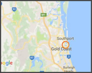
Chevron Island
Co-ordinates: -27.997334, 153.419869
Access: Car. Boat – closest ramp at Budd’s beach. Closest public pontoon – Caville Ave.
Back in the 1950s, the Nerang River was very shallow yet wide, with lots of sandbanks constantly
shifting around, making it difficult and dangerous to navigate by boat.
Then throughout the 60s, 70s & 80s, a group of men nicknamed the white shoe brigade dredged the river bed to create the Gold Coast shape that we all know now.
Part of this is Chevron island, now home to 1,500 residents & over 100 local businesses all sitting upon reclaimed land.
Next – Check out Ephraim Island below

